Cochabamba
Cochabamba Department · Cities
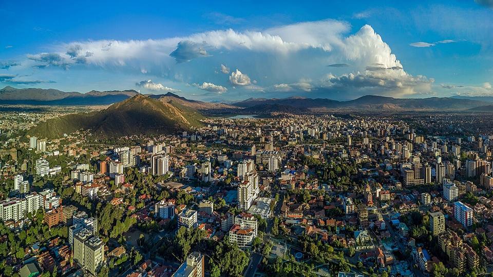
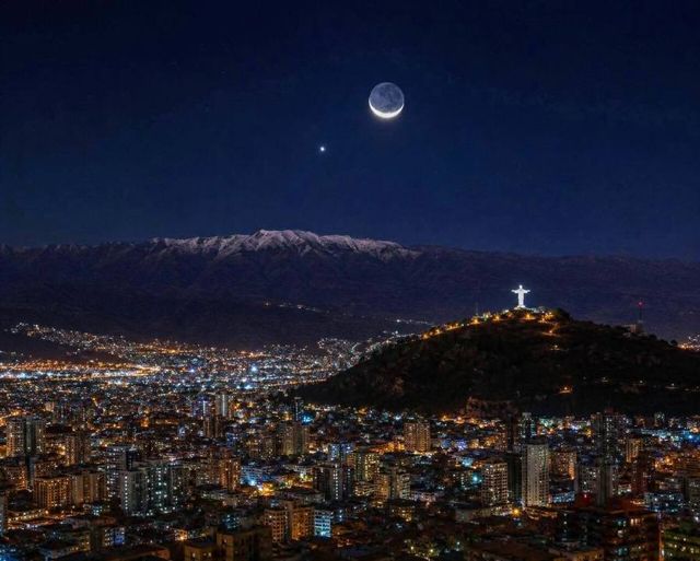
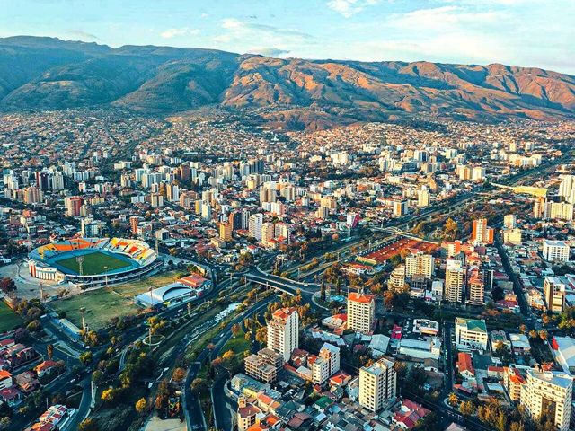
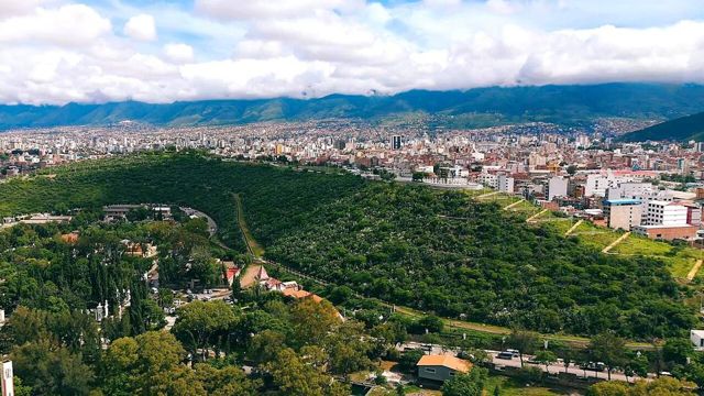
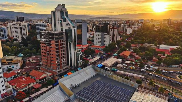
Cochabamba is Bolivia at its most easygoing: a big, green, sunny valley city where people eat better than anywhere else in the country. It's the place to settle into the Bolivian rhythm, get lost in the huge La Cancha market and climb up to the Cristo de la Concordia, which is taller than the one in Rio. It's also a perfect spot to acclimatise gently before heading up to the Altiplano.
Things to do
- Cristo de la Concordia (cable car, or on foot up the stairway)
- La Cancha, one of the largest open-air markets in South America
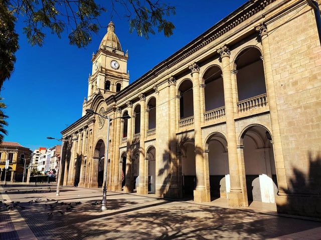
- Plaza 14 de Septiembre and the colonial centre
- Palacio Portales (home of tin baron Simón Patiño)
- Eat: silpancho, pique macho, chicharrón, api con pastel
What to eat
- SilpanchoA thin breaded beef cutlet on rice and potatoes, topped with a fried egg and a tomato and onion salad. THE Cochabamba dish.
- Pique machoA big sharing plate: chopped beef and sausages, fries, onions, tomatoes, locoto chillies and boiled eggs. Hearty and a little spicy.
- ChicharrónPork cooked slowly in its own fat until golden, served with mote (big corn kernels) and chuño. A Sunday dish.
- Api con pastelA thick hot drink of purple corn and cinnamon, with a cheese pastry dusted with sugar. The market breakfast.
Also here
- Crafts and markets La CanchaOne of the largest open-air markets in South America, in Cochabamba: fruit, spices, crafts, everything is sold in a maze of streets.
How to get to Cochabamba
Laguna Alalay Road (bus, car) · 15 min
Taxi or micro from the centre.
Sucre Flight · 35 min flight
BoA flights to Alcantarí airport.
Apote Road (bus, car) · 30 to 45 min
Trufi line 106 to the Apote terminus, or taxi.
Villa Albina Road (bus, car) · 40 min to 1 h
Trufi to Quillacollo, then a trufi to Pairumani (Villa Albina stop), or taxi.
La Paz Flight · 45 min flight
Daily BoA flights (several a day) to El Alto airport.
You land straight at 4,000 m: worse for acclimatisation.
Tarata and Cliza Road (bus, car) · 45 min
Frequent trufis (minibuses) to Tarata and Cliza.
Santa Cruz Flight · 55 min flight
Daily BoA flights to Viru Viru airport.
Inca Rakay Road (bus, car) · 1 h + 2 h walk
Trufi to Quillacollo then Sipe Sipe, then walk up.
Tarija Flight · 1 h flight
Direct BoA flights on some days.
Trinidad Flight · 1 h flight
BoA or TAM flights on some days.
Tunari Park Road (bus, car) · 1 to 2 h
4x4 taxi or guided trip. The tracks climb straight up north of the city.
Corani Road (bus, car) · about 2 h
Bus or minibus to Colomi, then a taxi to the lake, or car.
Incallajta Road (bus, car) · 3 h
Car or organised trip. Public transport is tricky (bus to Pocona, then taxi).
Torotoro Road (bus, car) · 4 to 5 h
Daily minibuses from the south of Cochabamba (Av. República area), leaving early in the morning. Or by car or tour.
Check the times the day before: departures are not hourly.
Totora Road (bus, car) · 4 h
Bus to Totora, or a bus on the old Santa Cruz road.
Mizque Road (bus, car) · 3 h 30 to 4 h
Daily buses and minibuses from Cochabamba.
Yungapampa 4x4 tour or excursion · 4 h by 4x4 + 1 to 2 days on foot
With an agency or a local guide, to Huari Pucara, then on foot with mules.
Oruro Road (bus, car) · 4 to 5 h
Frequent buses from the Cochabamba bus terminal.
Aiquile Road (bus, car) · 4 to 5 h
Buses and minibuses from Cochabamba, a few departures a day.
La Paz Road (bus, car) · 7 to 8 h
Day or night buses from the Cochabamba bus terminal (many companies, every hour). A “cama” (sleeper) bus is best at night.
A beautiful climb up to the Altiplano. Travel by day to enjoy the views.
Samaipata Road (bus, car) · 8 to 10 h
Night bus to Santa Cruz on the old road (ask to get off in Samaipata), or car.
Slower than the new road but far more beautiful, and it passes through Samaipata.
Sucre Road (bus, car) · 9 to 11 h (overnight)
Night bus from the Cochabamba bus terminal.
Long and winding: the 35-minute flight saves you a day.
Santa Cruz Road (bus, car) · 9 to 11 h
Very frequent night buses (Cochabamba terminal to the Bimodal terminal in Santa Cruz).
Photos of Cochabamba






More places in this region
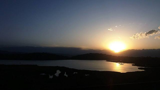 Laguna AlalayA large lagoon in the heart of Cochabamba, a bird refuge below the hills.
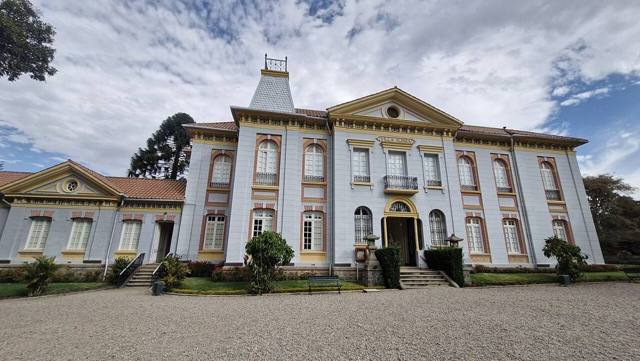 Pairumani and Villa AlbinaThe villa of tin baron Simón Patiño, its gardens, and the start of a trail to the Tunari.
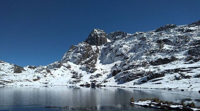 Tunari National ParkThe mountains right above the city: high lagoons and the Tunari summit (5,035 m).
- Apote and its twin waterfallsA mountain valley above Tiquipaya, with two waterfalls side by side and trails towards the Tunari.
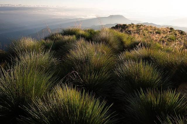 YungapampaA refuge above a sea of clouds, on the north side of the Tunari, Andean bear country.
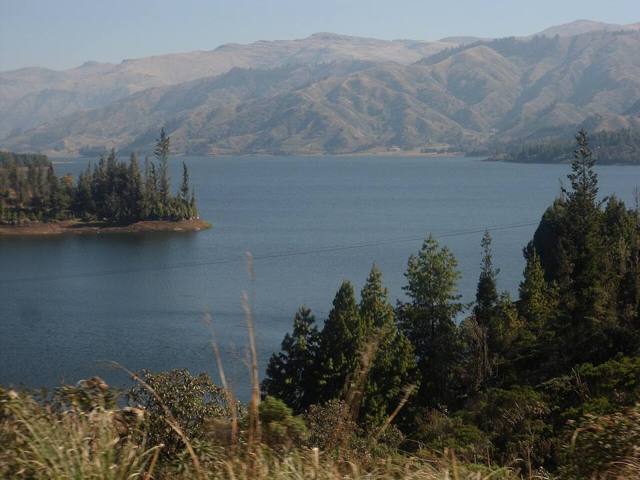 Laguna CoraniA large reservoir among pine forests and mountains, known for its trout.
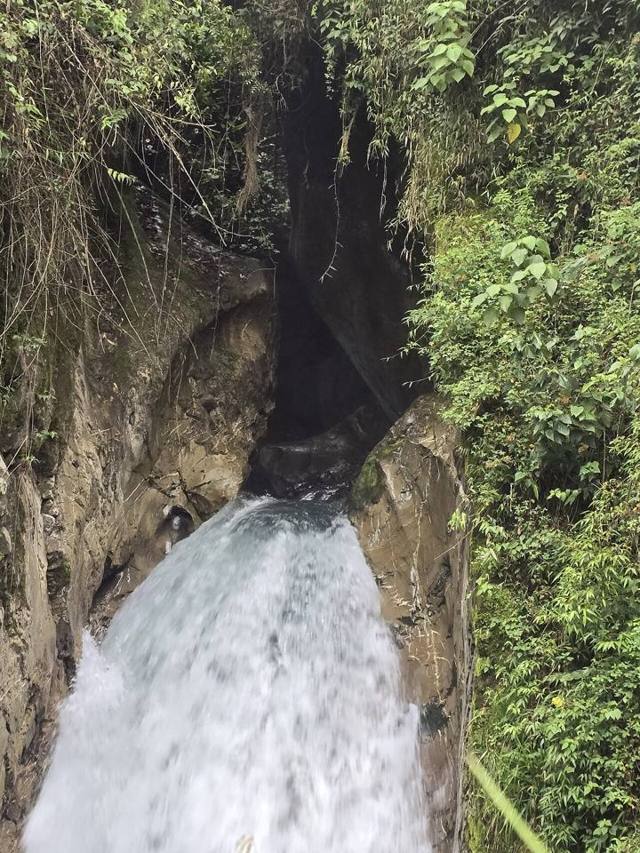 IncachacaA cloud forest at the edge of the Chapare, with an Inca bridge, waterfalls and an old power plant.
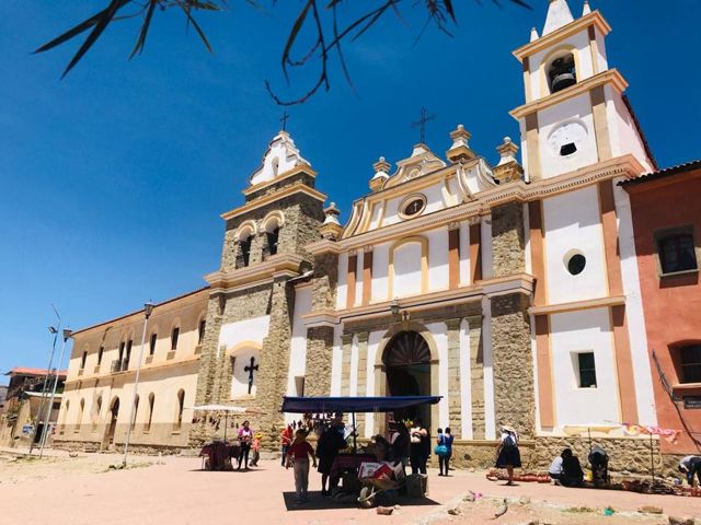 Valle Alto: Tarata and ClizaColonial valley villages, markets and chicha.
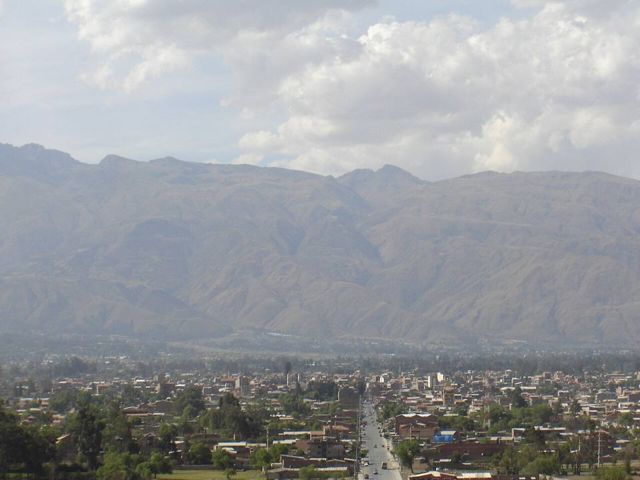 Quillacollo and Inca RakayInca ruins perched above Sipe Sipe, and Quillacollo, home of the Urkupiña festival.
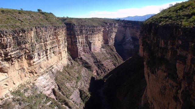 Torotoro National ParkDinosaur footprints, a spectacular canyon and the Umajalanta cave.
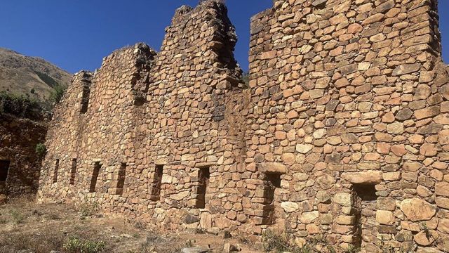 IncallajtaThe largest Inca site in Bolivia, in a remote valley.
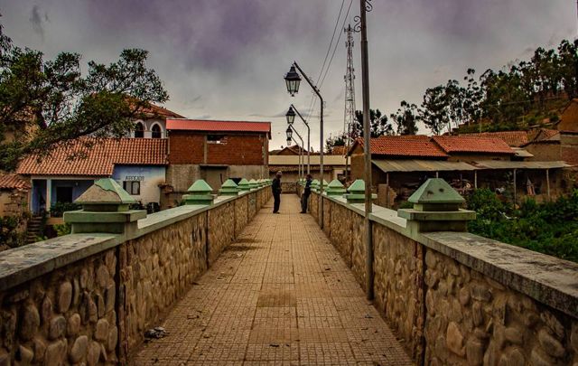 TotoraA small, well-preserved colonial village on the old road to Santa Cruz.
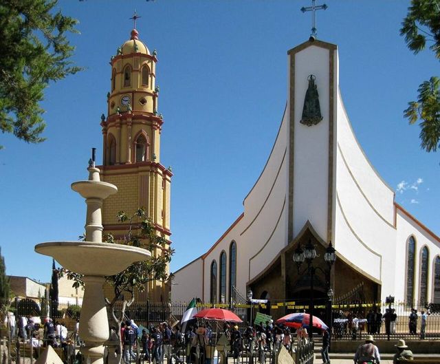 AiquileBolivia's national charango capital, halfway between Cochabamba and Sucre.
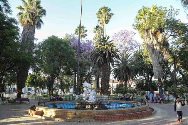 MizqueA colonial village in a warm valley, home of the red-fronted macaw.