Yungapampa
Cochabamba Department · Adventure and peaks
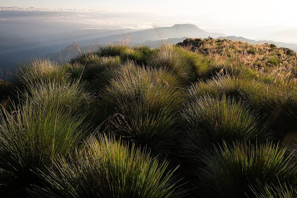
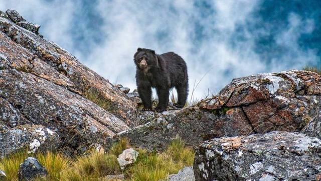
Behind the Tunari range, the mountains plunge towards the Yungas of Cochabamba. Yungapampa is a community refuge at 3,630 m on the edge of that drop, where the sun often rises over a sea of clouds. You get there on foot or with mules from Huari Pucara, past rock paintings, canyons and the Infiernillo waterfall. This is the land of the jucumari, the spectacled bear, as well as the puma and the condor.
3,630 maltitude
2 to 3 daysto spend there
High altitude. Above 3,500 m, altitude sickness (soroche) is common. Arrive gradually, drink plenty and take it slow on the first day.
Things to do
- 2 or 3 day trek from Huari Pucara, with mules
- Sunrise over the sea of clouds
- Rock paintings of Rumy Plaza and the Infiernillo waterfall
- Watch condors, Andean deer and maybe the spectacled bear
What to eat
- SilpanchoA thin breaded beef cutlet on rice and potatoes, topped with a fried egg and a tomato and onion salad. THE Cochabamba dish.
- Quinoa soupA hot soup of quinoa and vegetables, served in refuges and high-altitude comedores. Perfect when it's cold.
Tip. Hard to reach: about 4 h by 4x4 from Cochabamba through Tiquipaya, then the walk. Best with an agency or a local guide, who arranges transport, mules and the refuge. Nights are cold.
How to get to Yungapampa
Cochabamba 4x4 tour or excursion · 4 h by 4x4 + 1 to 2 days on foot
With an agency or a local guide, to Huari Pucara, then on foot with mules.
Photos of Yungapampa

More places in this region
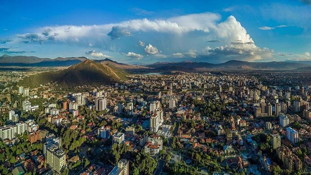 CochabambaThe “city of eternal spring” and the food capital of the country.
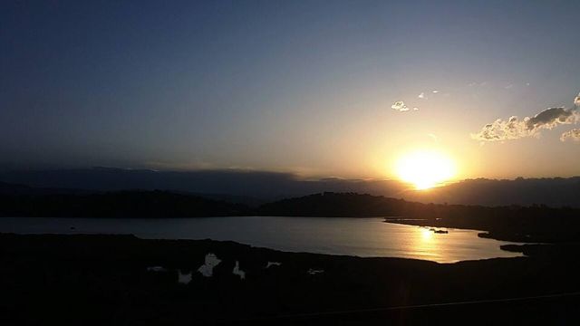 Laguna AlalayA large lagoon in the heart of Cochabamba, a bird refuge below the hills.
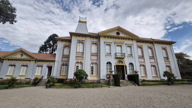 Pairumani and Villa AlbinaThe villa of tin baron Simón Patiño, its gardens, and the start of a trail to the Tunari.
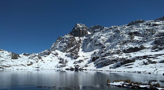 Tunari National ParkThe mountains right above the city: high lagoons and the Tunari summit (5,035 m).
- Apote and its twin waterfallsA mountain valley above Tiquipaya, with two waterfalls side by side and trails towards the Tunari.
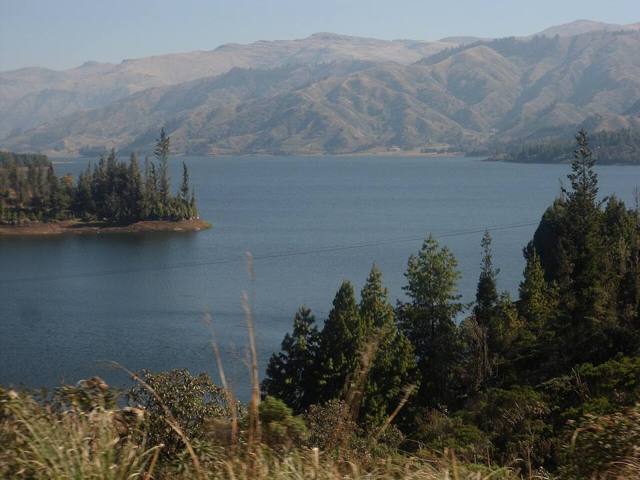 Laguna CoraniA large reservoir among pine forests and mountains, known for its trout.
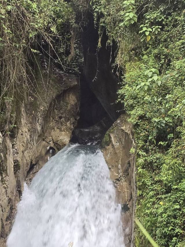 IncachacaA cloud forest at the edge of the Chapare, with an Inca bridge, waterfalls and an old power plant.
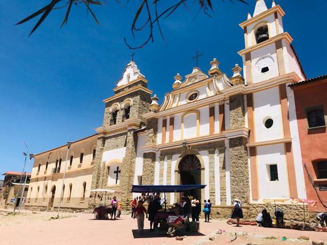 Valle Alto: Tarata and ClizaColonial valley villages, markets and chicha.
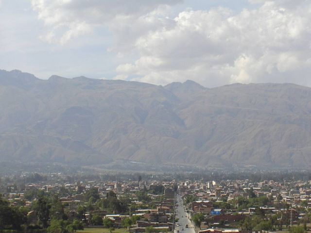 Quillacollo and Inca RakayInca ruins perched above Sipe Sipe, and Quillacollo, home of the Urkupiña festival.
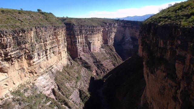 Torotoro National ParkDinosaur footprints, a spectacular canyon and the Umajalanta cave.
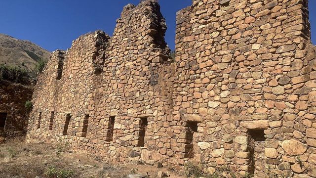 IncallajtaThe largest Inca site in Bolivia, in a remote valley.
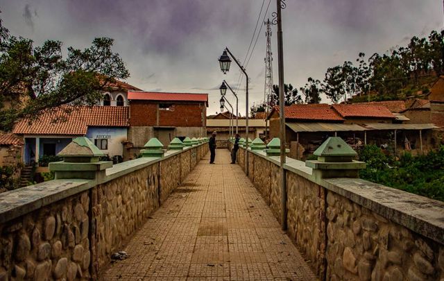 TotoraA small, well-preserved colonial village on the old road to Santa Cruz.
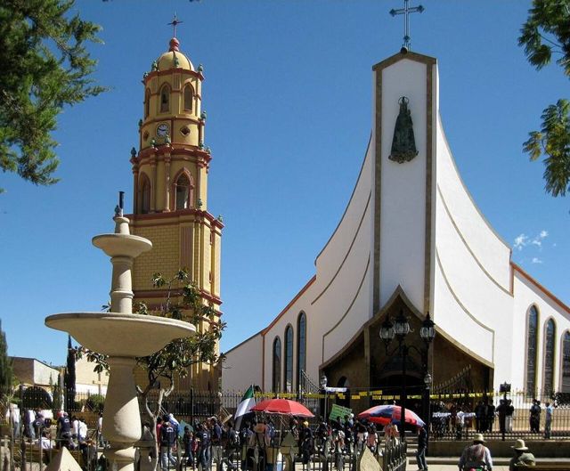 AiquileBolivia's national charango capital, halfway between Cochabamba and Sucre.
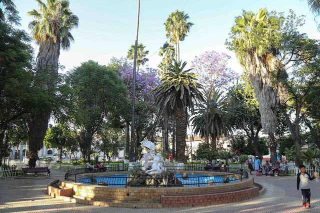 MizqueA colonial village in a warm valley, home of the red-fronted macaw.